sale szkoleniowe NobleProg, ul. Gietkowska 6a, Olsztyn, poland, 10-170
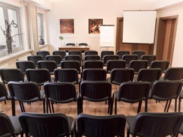
Training and conference room with full audio-visual equipment.
Functional furniture provides the possibility of setting them in a conference layout, school, workshop & cinema, or cinema, depending on the client's needs.